OUR BACKGROUND
OUR BACKGROUND
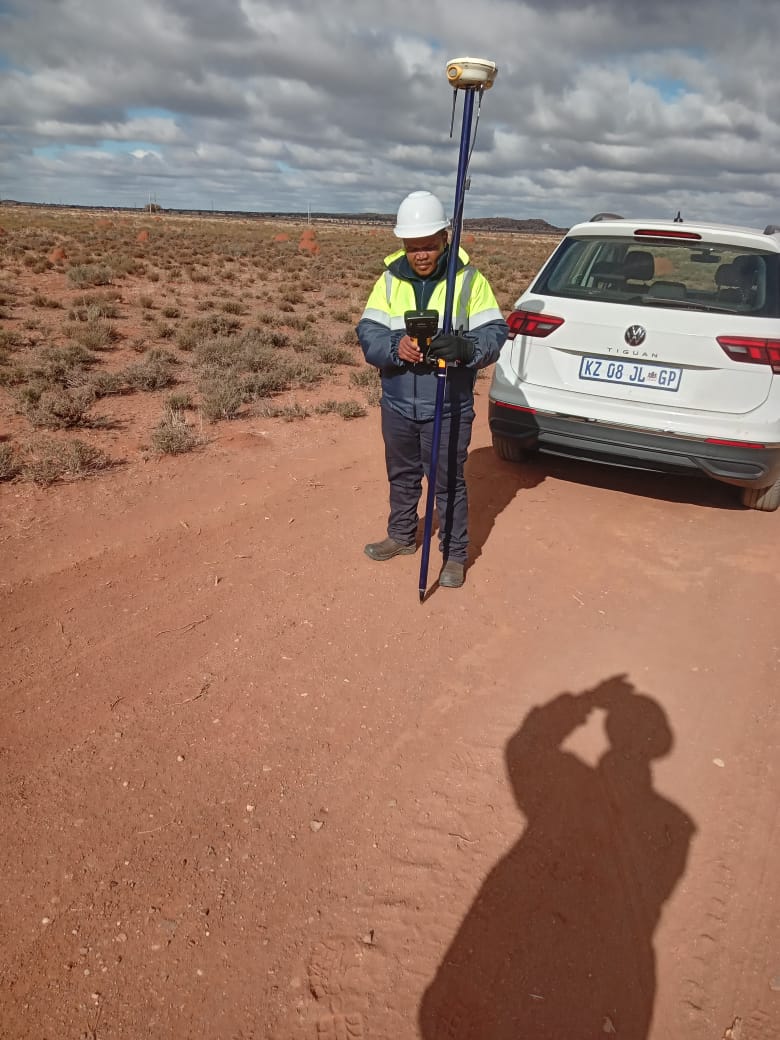
PK Geomatics Is A Team Of Qualified Professionals With Extensive Knowledge In The Land Survey, Engineering Survey And Construction Survey Fields.
PK Geomatics is a leading Engineering Surveying services provider, whose robust data and advanced digital solutions underpin the biggest projects in Southern Africa and beyond. We offer the full spectrum of geomatics expertise from land surveying, aerial mapping and the integration and implementation of Geographic Information Systems (GIS).

Preamble
We treat every project with enthusiasm and a sense of urgency, which means you can depend on us to get the job done.
We use advanced GIS systems to assist clients with the most accurate data that is needed to make effective decisions.
We are regularly used by architects, civil engineers, developers, town planners construction companies, property owners and mining companies.
We also provide consultancy services including user needs assessments, project management, independent quality assurance, and quality control for geospatial projects
Our Vision
To enhance the value chain of our clients in the construction, surveying and engineering industries by delivering cost effective services of the right quality, at the right time.
- Our Mission
Our mission at PK Geomatics is to be a leading provider of engineering surveying services, dedicated to delivering precise and innovative solutions that empower our clients to build, design, and develop with confidence.
- Certified Experience
Our field of applications includes land and asset property mapping, roads and railway corridor survey, mines survey, stockpiling to name a few.